
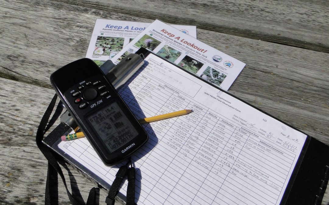

The tools of the trade – the WNY PRISM Crew uses GPS units, datasheets and species identification tools to survey for invasive species. Photo Credit: Nick Ransbury, WNY PRISM
This field season, the WNY PRISM Crew has been traveling throughout our region conducting invasive species surveys and mapping projects, on high priority conservation areas. We’ve worked alongside Partners such as the Western New York Land Conservancy, Jamestown Audubon, Chautauqua Lake Association, Chautauqua Watershed Conservancy and Pfeiffer Nature Center, to establish invasive species baseline data, which will in turn, assist with future management planning and invasive species removal project implementation.
When it comes to managing invasive species, there are several points to check off before you can even begin to actually manage them. You need to know what species you are looking for, what it looks like, what stage of growth it is in, and most important of all, location. Gaining all of this information is crucial to properly treating invasives. Knowing the best technique to use and where/when to use it, is essential in order to obtain the most effective results. This can only be done through proper assessment of the situation. Before heading out for our first mapping project, we spent a quite a bit of time learning how to identify invasive species, and how to collect field data. Thankfully, there is an easy to use system that has been developed to help scientists streamline all of our data, iMapInvasives.

WNY PRISM Crew surveyed invasive species at the Chautauqua Watershed Conservancy’s Chautauqua Lake Outlet Greenway Preserve in 2017. Photo Credit: WNY PRISM.
Our first project this summer took place at the Land Conservancy’s new Owen’s Falls Sanctuary. Here we worked along established trails, to identify and map invasive species. After the completion of the survey, which includes location and assessment data, along with photos for identification purposes, we returned to the office and entered our data into iMapInvasives. When the Crew is out in the field, the amount of data we collect can seem overwhelming at first. But, we understand that all of it is necessary.
When data entry was completed for Owen’s Falls Sanctuary, we continued by writing a survey summary for the Land Conservancy. This summary includes not only the iMapInvasives data, but also provides some general guidance with regard to prioritization and appropriate best management practices. After Owen’s Falls Sanctuary, we moved onto other natural areas including the Audubon Community Nature Center, the Chautauqua Lake Outlet and tributaries, Chautauqua Lake Outlet Greenway Preserve, Lillibridge and Eshelman, and Spring Brook Fens. Each of these properties contain unique assemblages of plants and animals, which will benefit greatly from the removal of invasive species.

Bush honeysuckle (Lonicera spp.) observed as part of the Chautauqua Lake Outlet and tributaries invasive species survey in 2017. Photo Credit: WNY PRISM.
With a few more projects from the summer still in need of being entered into iMapInvasives, we already have 400 observations across 5 counties, including 35 different species. The most common species observed this year have been multi-flora rose, bush honeysuckle, mugwort, japanese barberry, common and glossy buckthorn, and reed canarygrass.
iMapInvasives is an online database and citizen science tool assisting in the fight against invasive species in western New York. Invasive species surveys are necessary to evaluate the management needs of our natural areas. Management strategies will change depending on species presence, distribution, and density. Surveys also establish baseline information, which will help determine if there are new species coming in, or how current populations may be changing. iMapInvasives allows managers and citizen scientist to readily view data, which in turn allows for more effective control efforts and research. WNY PRISM uses iMap all the time to track invasive species, and the great news is you can too! Just head over to the NY iMapInvasives website (www.nyimapinvasives.org), create an account, and you are ready to get started helping fight invasive species.
This article was written by Kevin Sanders, 2017 WNY PRISM Invasive Species Management Assistant.